Hiking routes in the Apuan Alps
Day and multi-day hiking routes surrounded by striking mountain scenery
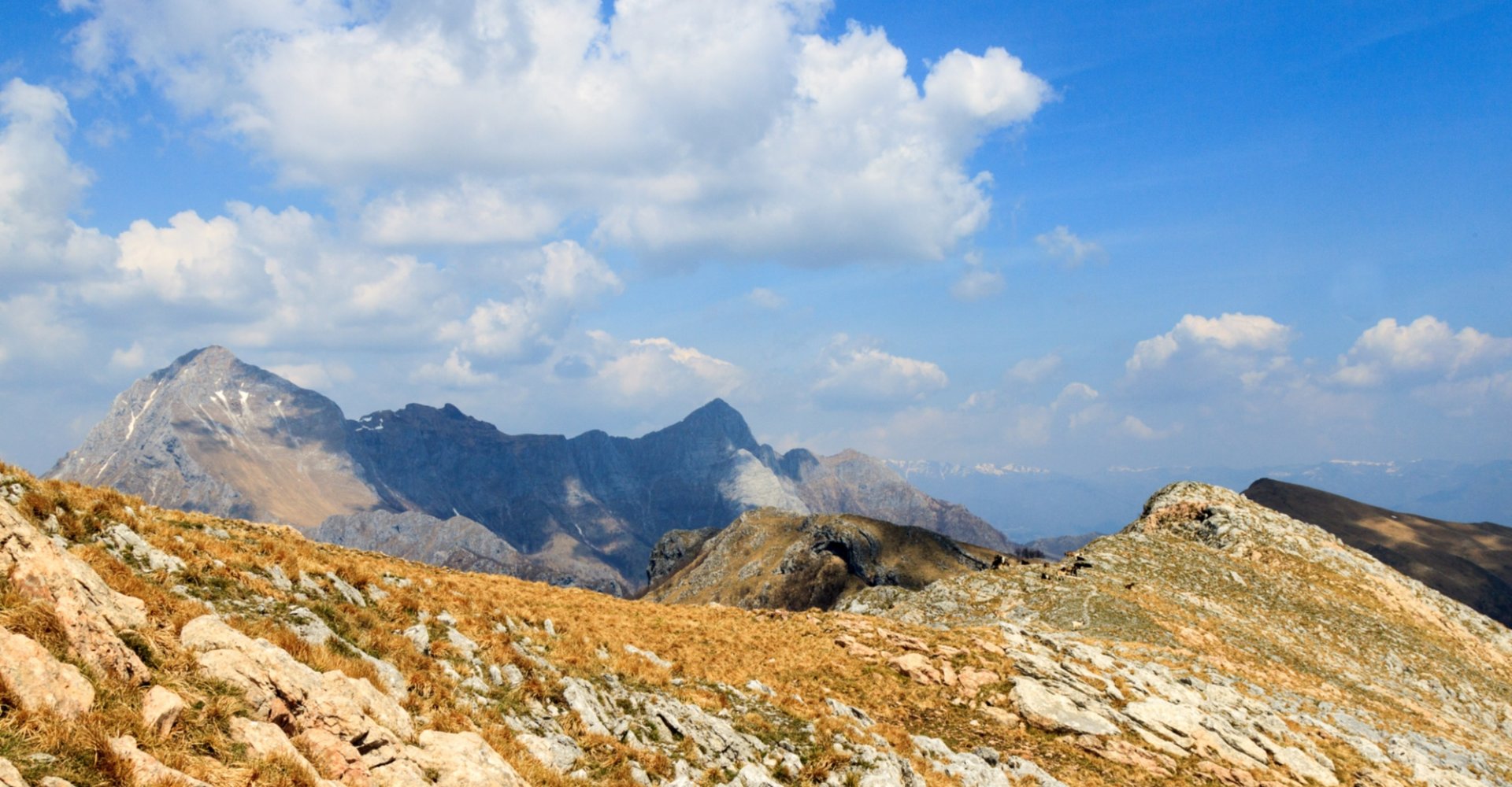
Harsh yet charming at the same time, the Apuan Alps provide a medley of scenery with high-altitude lakes, karst caves and incredible views that stretch as far as the sea. Boasting majestic peaks, Monte Pisanino is the highest point, exceeding 1940 metres above sea level. Here the mountains inspire reverence and an irresistible urge to go hiking and discover the rocky heights, steep slopes and the wild nature dotted with picturesque villages.
Here are 2 daily hiking routes and another 4 routes across several days that explore the striking scenery of the Apuan Alps mountains.
-
1.Monte Forato circular route
-
2.Tambura da Campocatino circular route
-
3.Via Vandelli
-
4.Hiking along the Gothic Line
-
5.Via del Volto Santo
-
6.Sentiero dei Ducati
Monte Forato circular route
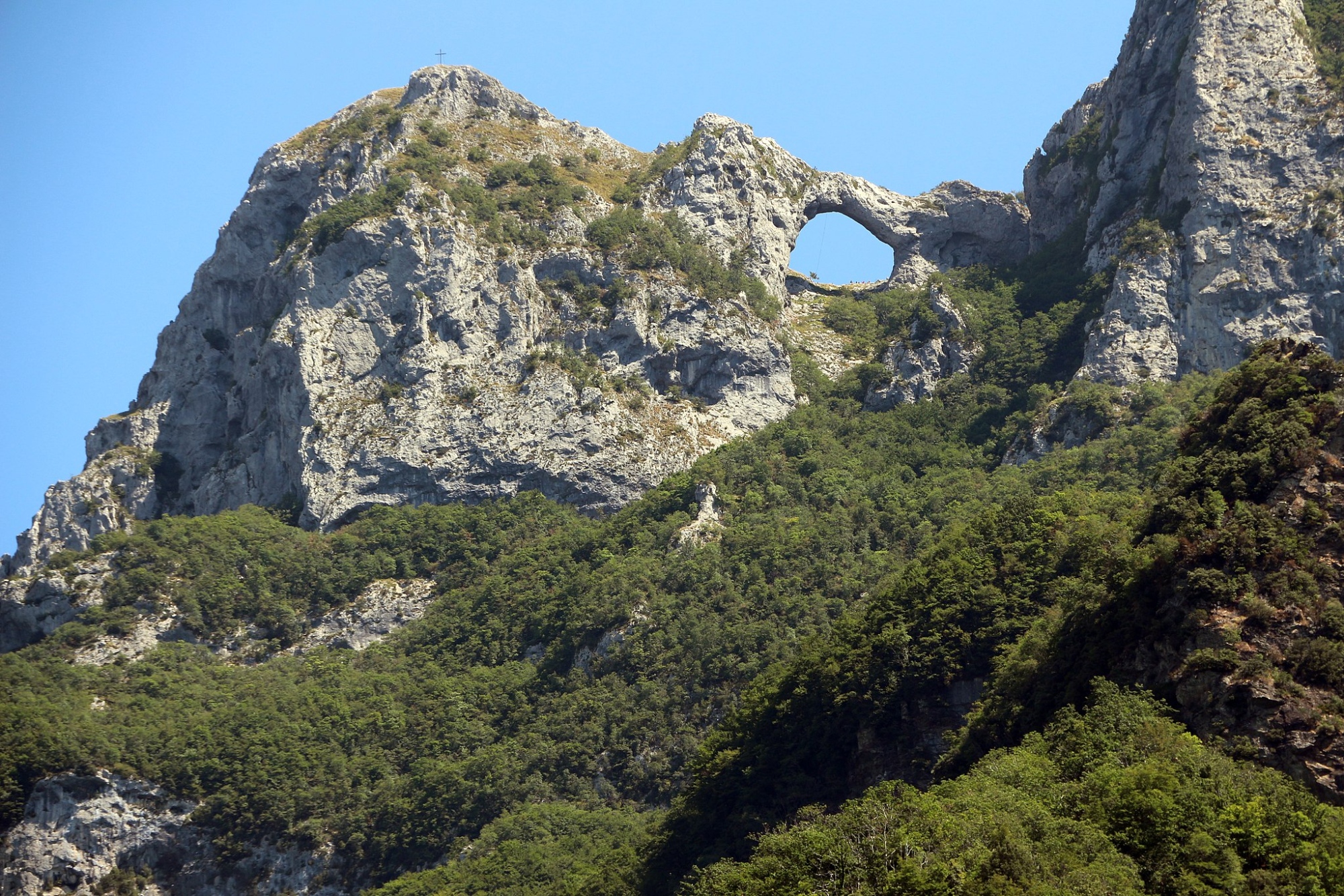
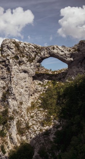
This is one of the best-known hiking routes in the Apuan Alps, and for a reason! Setting out from the pretty village of Fornovolasco, nestled among lush forests and alpine crests, the route intercepts Tana che urla, a karst cavern that’s 400 metres wide, and leads to an impressive rocky arch, from which hikers can enjoy incredible sunrises and the sunsets on certain days of the year. This scenic loop can be walked in a day, although you’ll need to be suitably equipped and used to mountain hiking.
Tambura da Campocatino circular route
Another challenging loop that’s just as scenic, recommended for expert hikers. From the wide grassy Campocatino basin, we start this panoramic hike with views over Valle di Arnetola and the Monte Pallerina quarry. From high-altitude woodland to blocks of marble, the route continues up to the Tambura summit, the second highest peak in the mountain range, where hikers can enjoy 360-degree views over the Apuan Alps, the Appennines and the coast.
Via Vandelli
This multi-day hike follows the old 18th-century trail that was developed as a commercial and military route connecting Modena and Massa, which passes through the lush Garfagnana and Media Valle del Serchio. Seven equally demanding legs across about 170 kilometres in total, two of which are dominated by the beauty of the Apuane Alps: San Pellegrino in Alpe - Poggio di Garfagnana e Poggio - Campaniletti. San Pellegrino in Alpe, Castiglione di Garfagnana, Castelnuovo di Garfagnana and Vagli di Sotto are just a few of the places you’ll come across along this route, but nature is the star attraction here. Enjoy it from the top of Tambura with a short detour that comes highly recommended.
Hiking along the Gothic Line
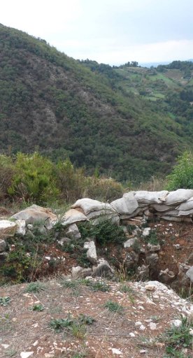
The battleground for partisans and German troops during the Second World War, peace trails zigzag through the Apuan Alps along the Gothic Line, nestled in lush scenery and places filled with memories. The leg that begins in Stazzema is especially pretty and sentimental; it’s where the terrible Sant’Anna di Stazzema massacre in which many children lost their lives. The splendour of the Apuan Alps goes hand in hand with places brimming in history for exceptional hikes.
Via del Volto Santo
A religious hike through the Lunigiana and Garfagnana to Lucca, home of the “Volto Santo” (Holy Face), a wooden statue that has been venerated since ancient times. Retrace the footsteps of the pilgrims of the past along the medieval route that connects the Longobard lands to those of Tuscia. Leave Pontremoli in Lunigiana and hike to the San Martino Cathedral. The route’s about 150 kilometres long and embraces Christian spirituality and centuries-old villages with the mountains in the background.
Sentiero dei Ducati
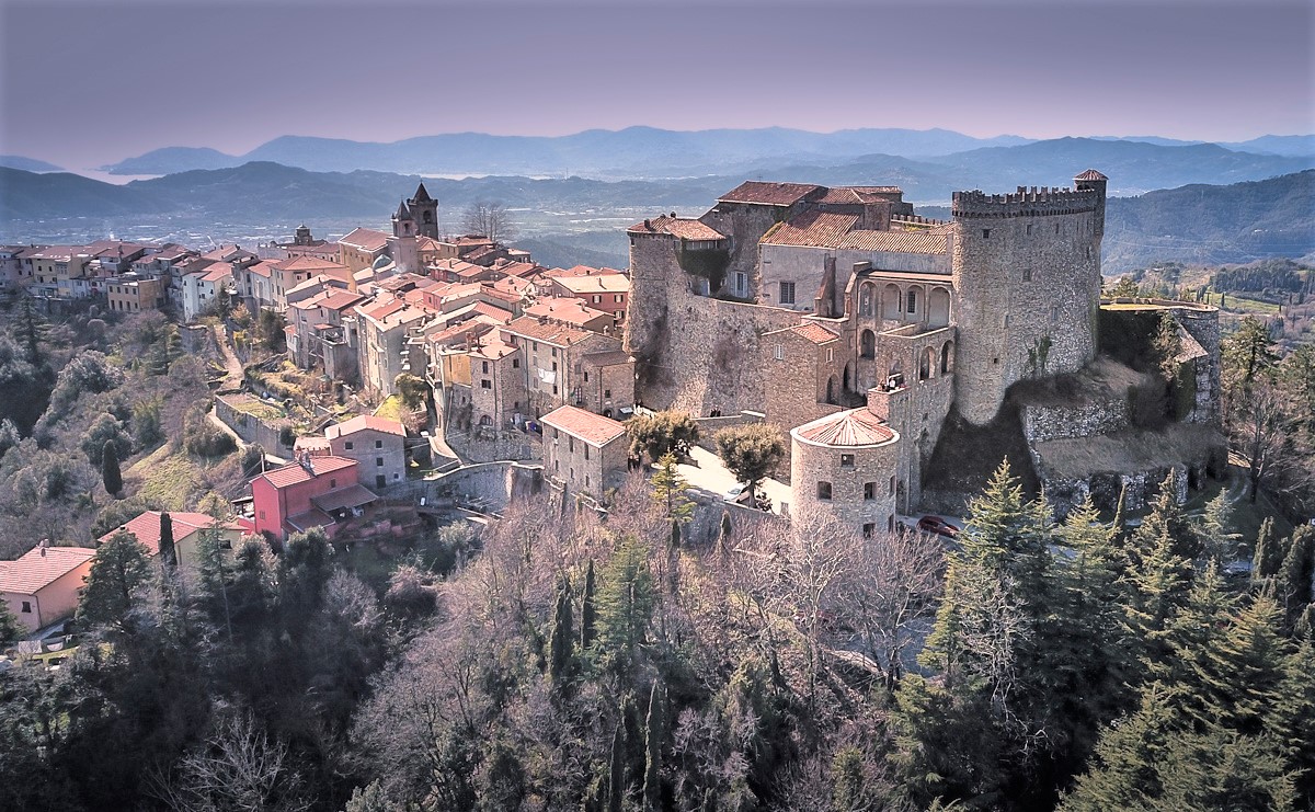
A hiking route between Emilia and Lunigiana that follows the old trails along the boundaries of the Este states. Separated into 11 legs, the entire hike is approximately 160 kilometres long and ends near the sea, in Sarzana. From Quattro Castella (RE), the route reaches Tuscany over the Passo del Lagastrello, entering the Appennino Tosco-Emiliano National Park and then Apuan Alps Regional Park, skirting picturesque villages, castles, churches, bridges and towers. The last leg runs from Fosdinovo, with views as far as the Golfo dei Poeti.

