Trekking in safety on Tuscany’s hiking trails
Useful tips for preparing for hikes and valuable information on how to behave in times of difficulty
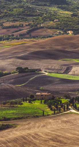
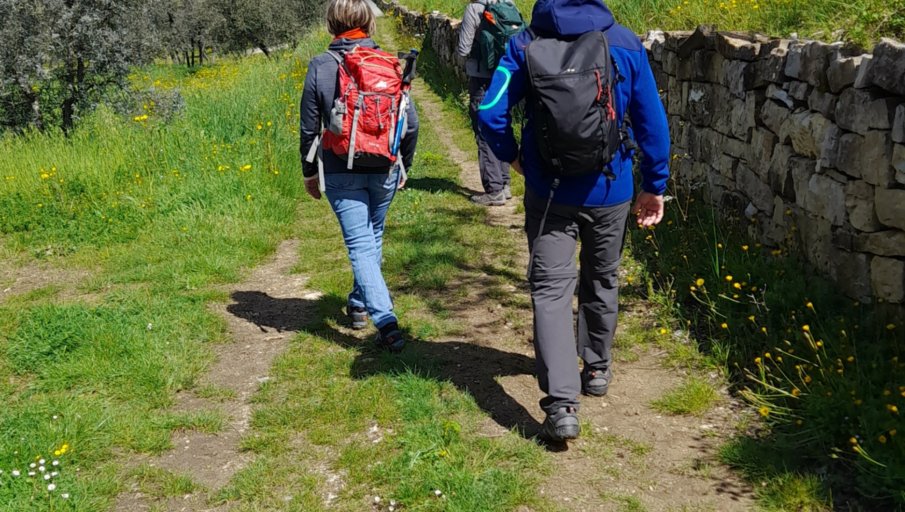
Enjoying a walk surrounded by nature, following well-marked trails, such as the official ones of Tuscany, is a wonderful way to relax, breathe clean air and practice an activity that is good for body and mind. A chance to return to places where we have been well, but also to get to know places we have not yet explored, away from the traditional tourist flows and at a slow pace.
To trek with serenity and enjoy the beneficial effects of walking outdoors, it is important to take some precautions and know how to be rescued quickly in case of difficulty.
-
1.Preparing as best as possible: CAI videos
-
2.App GeoResQ
-
3.Mountain and cave rescue plaques
Preparing as best as possible: CAI videos
It is very important to inform yourself before setting out. For this reason, a group of CAI (Italian alpine club) hiking instructors has made 6 videos that highlight some preventive tips.
The topics covered are very useful and provide a real guide for how best to prepare: how to choose and prepare your backpack, what is the right equipment (shoes and clothing), how to follow a proper and balanced diet, on what occasions and why to consult the weather forecast, information to gather to face the trip with peace of mind, and other useful tips.
See the playlist with all the videos.
App GeoResQ
This is the app prepared by Mountain Rescue and available free of charge throughout Italy: https://web.georesq.it/
Why it is important to download the GeoResQ app:
- It pinpoints the location of the hiker using it, providing rescuers with useful information;
- The “track me” function allows the hiker to memorize the route, but more importantly, in case of failure to arrive at the destination or return home, those waiting can contact the call center and trace back to the last report received. This is an important feature for rescuers to quickly identify where to go if needed;
- It allows the rescuer to call directly from the cell phone by pressing the “alarm” button. This function is critical in case of an injury.
Moreover, the app allows you to create an archive of your excursions that you can also save on your device.
Mountain and cave rescue plaques

The Tuscan hiking trail safety project is concerned with facilitating and speeding up rescue efforts toward hikers in distress, especially in isolated or sparsely populated places.
Along official paths, including the Tuscan Via Francigena, geo-referenced reflective plaques have been placed on average every 1.5 or maximum 2 kilometers. Each plaque displays a unique code that, when communicated to mountain rescue and 112 operators, allows efficient localization and thus an important simplification and acceleration of rescue interventions.
Each plaque also features a QR code that allows information to be found for each path, through direct linking to visittuscany.com
A total of 545 plaques are located along about 1300 km of routes in the main trails, variants excluded.


